Become more satisfied with your city
はじめに
This guide will teach you how to select the best map for your city.
ステップ 1: Gathering Ideas and unique features
Before you start a city, think to yourself “What do I want my city to look like?”. Once you have pictured what you want it to look like, think about what features will make your city look unique, 例えば: Big port, major highway, lower skyline, farmland, 等.
After you’ve got some ideas for the unique features, think about geographical features, such as having a beach, a large mountain, 等. Also think about what theme you want to have your city in, such as tropical, arboreal, temperate, 等.
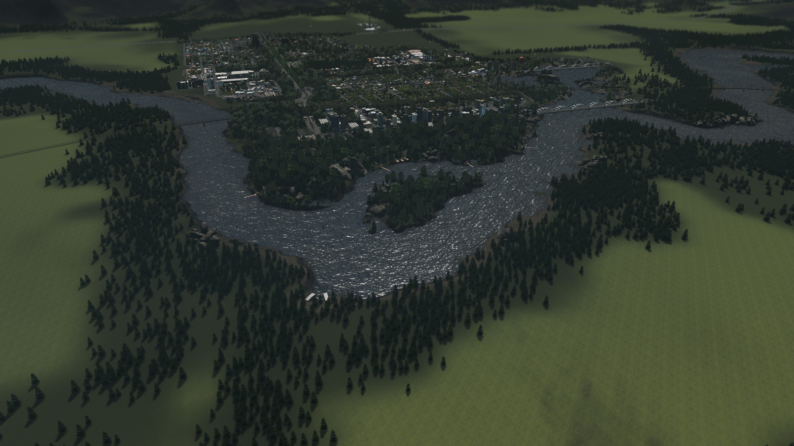
(The river makes for a great nature reserve)
ステップ 2: Outside Connections and Natural Resources
ノート: This part is mostly dependent on the Industries and Mass Transit DLC’s, if you don’t have either you may want to skip to step 3
Once you’ve got the unique features and gathered ideas, start to think about what outside connections and Industries you want your city to have. もし, 言う, you want a big ore mine in the backdrop of your city, than look for a map with lots of hills and ore resources, or if you want a port city then look for a map with sea connections.
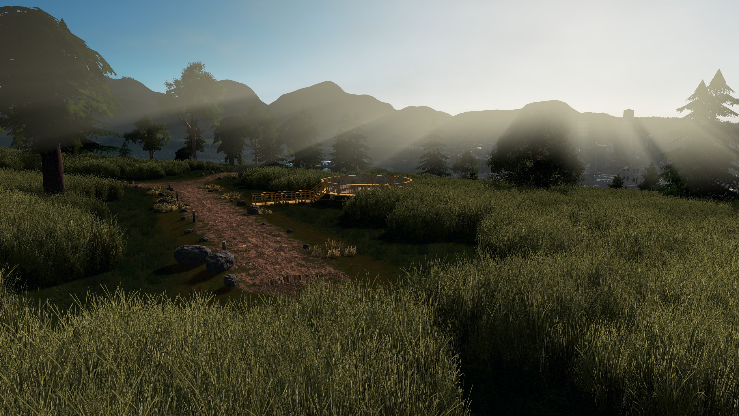
(The hills make for another great nature reserve)
ステップ 3: Choosing a good map
After you’ve done step 1 と 2, start to look through the different maps and chose which ones would best suit the ideas you have brainstormed. If your stuck than maybe try YouTube or look up best cities skylines maps to help you choose.
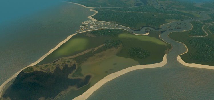
The pearl bay map from the Industries DLC could make a great tourist city with the beaches and rives, and the mountain on the left can make a great backdrop.
結論
There you go
Go plan a cool city