A navigational guide to the Fire Fish Lagoon. Includes instrument readings and star angles at all ports for navigational aid.
Getting to the Fire Fish Lagoon
It took me about 10 days with good winds to get here directly from Gold Rock City in a modified Sanbuk. I would imagine that it would take you no more than 4 days to get here from Dragon Cliffs.
For Aestrin, just imagine how long it takes you to get to Dragon Cliffs, and add 4 days or so.
You are aiming for 28 Lat 3 Lon

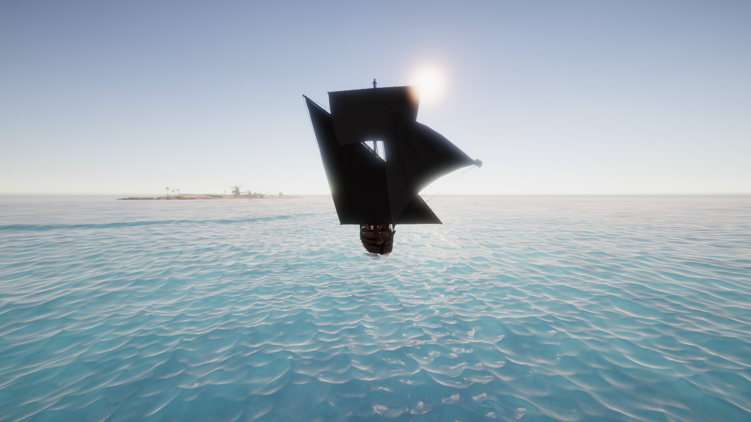
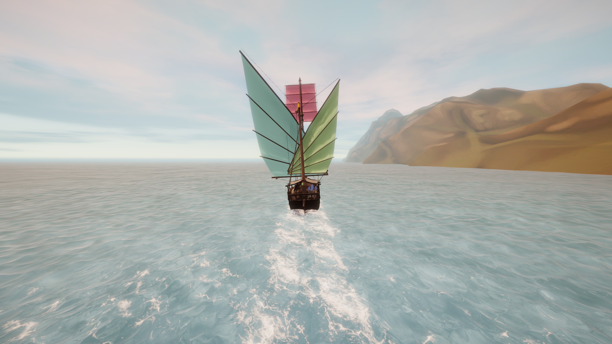
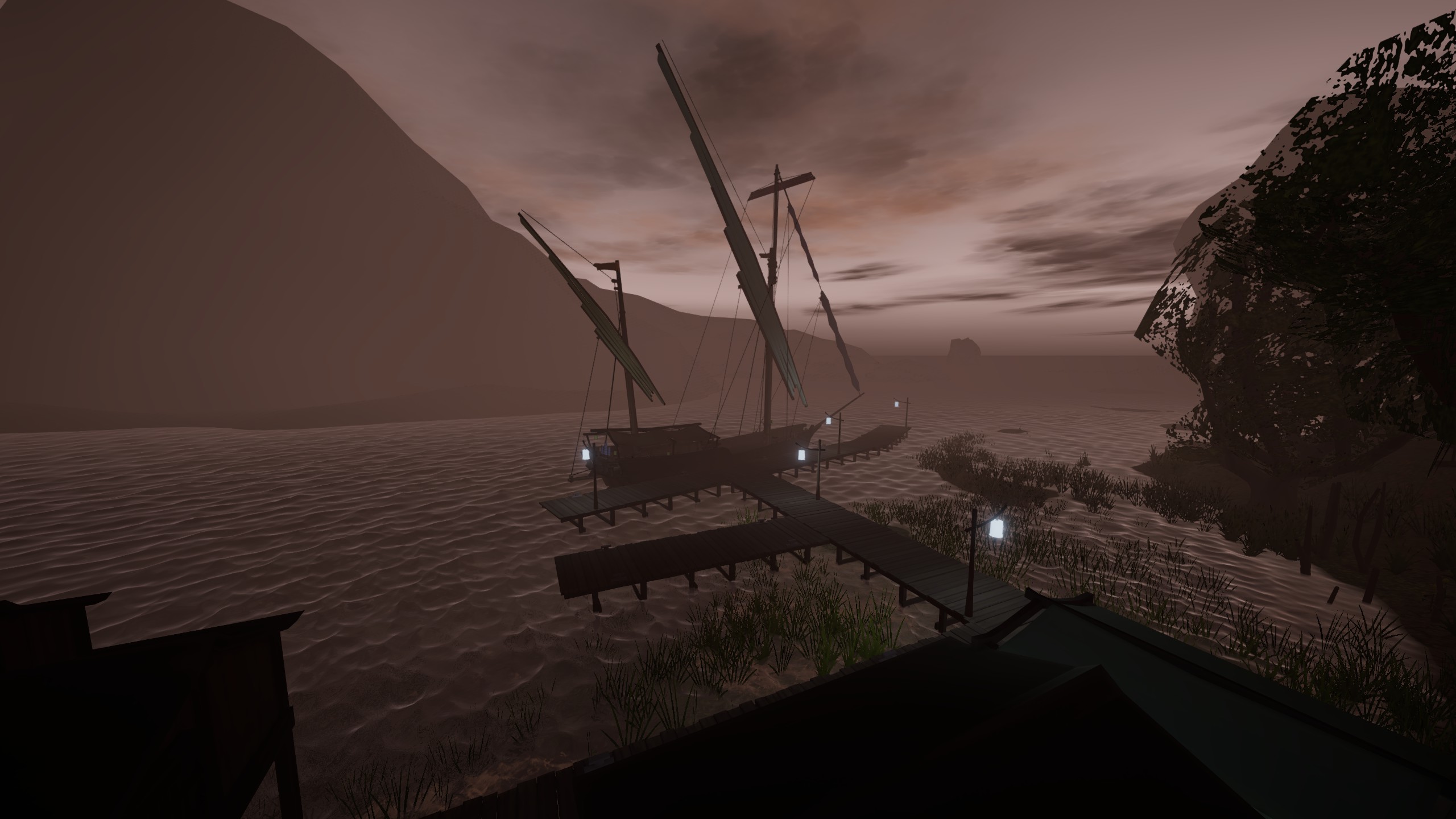
(this is the sanbuk. very beautiful and very powerful.)
I basically went East until I reached 2 degrees of Longitude, and then turned south. I was lucky and the winds were blowing almost perfectly towards the island. I set my boat up to sail directly downwind and stayed in the cabin drinking snake oil and sleeping for 3 days.
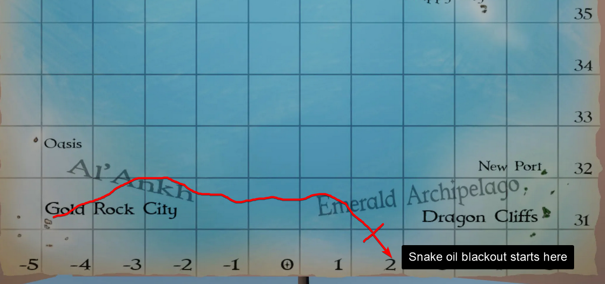
I woke from my snake oil haze to somehow be arriving directly at On’na.
So try that method and see if it works for you.
If it doesn’t, I have compiled a pretty detailed account of all of the star angles and tool readings at each port in the lagoon. There are also some tips about navigating the Lagoon and docking at each port.
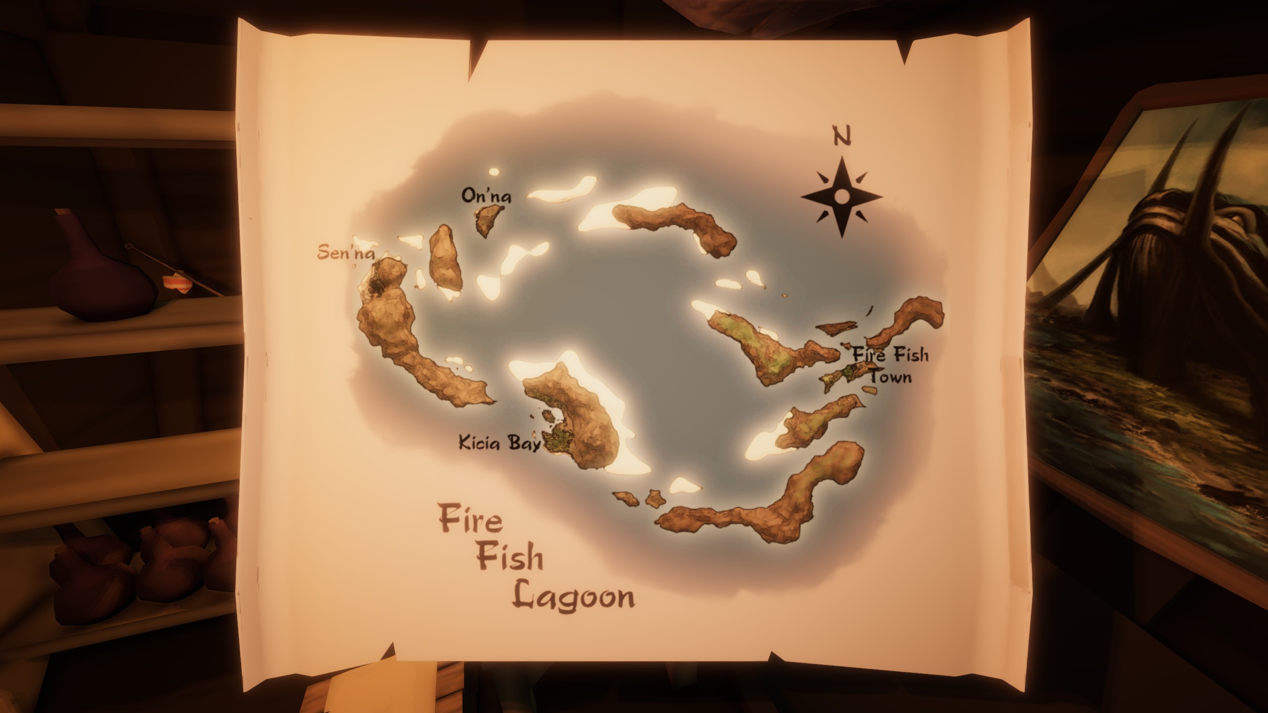
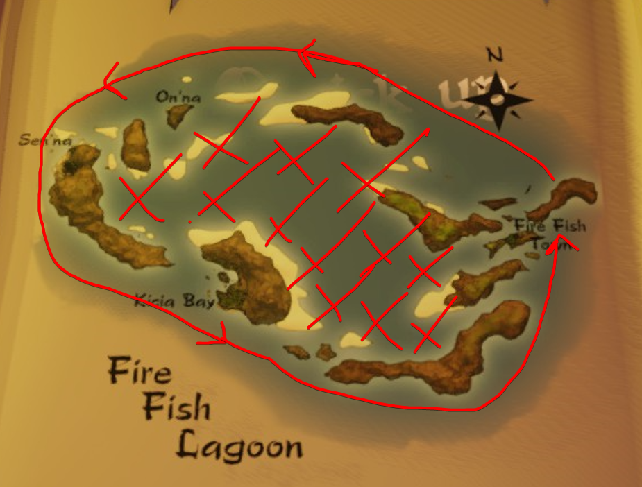
Map of the Lagoon
Here is the map available for the area. It seems pretty accurate in terms of the port locations, and shows the major sandbars. Be warned, there are plenty of hazards not visible on this map.
General Navigation Tip for the Lagoon
The Lagoon, like Chronos, has a lot of unmarked shallows. There are also lots and lots of sandbars.
Luckily it is almost always foggy or stormy here, so even in the daytime it can be nearly impossible to see these dangers.
There is however, a solution to this problem.
Just sail around the outside of the Lagoon. At least, until you start to learn a bit about where the real dangerous shallows are.
Only venture into the inner areas if:
A: You have an idea of where all the scary bits are
B: It is a clear day with little or no fog
On’na
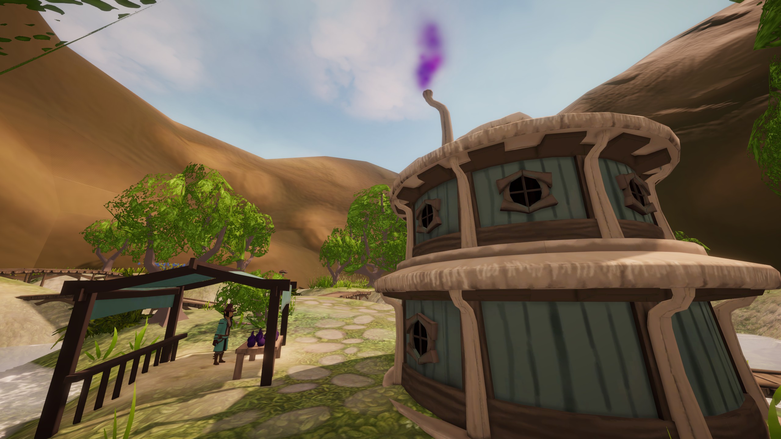
On’na is an adorable and very tiny village. There are some Bees, and not a lot in terms of vendors.
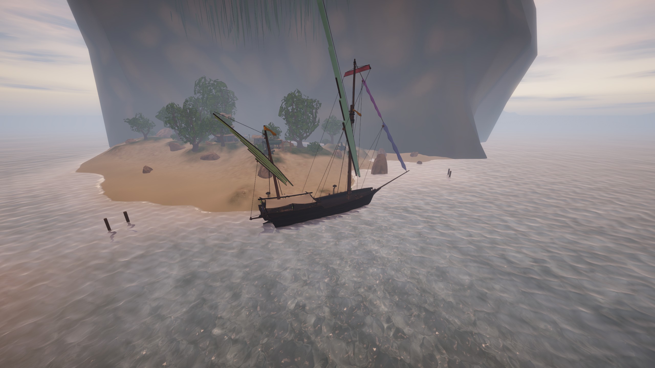
It is probably the easiest dock to approach. There is also no actual dock. Just a couple of tie up points on the shore.
Approach from the Northwest or the South, and you should be all good.
On’na Survey Data
Based on the summary of my observations with all tools available, I would say that On’na is located at: 28* N 3* E
Important: All measurements in this guide were taken by me, using my own techniques and methods with each tool. This WILL DIFFER from your own method. This is especially important when considering the raw sextant angles measured for each object, but is true with every measurement. My numbers should be close enough, but do not be surprised if your measurements differ from mine slightly.
Star Angles:
If you are unfamiliar with these stars, check out this guide on sailwind navigation. There are links to each of these stars and how to calculate Longitude using the chronometer.
00:00 AMT_________
- North Star – 28*
- Witena – 35*
05:20 AMT_________
- Oriens – 6*
*was hard to see oriens at all
12:00 Local_________
- Sun – 62*
19:00 AMT__________
- North Star – 28*
- Milnead – 12*
*very clear and bright stars at this sunset
Tool Readings:
Sun Compass – 28* at Local Noon
Chronometer – 11:49 AMT at Local Noon
*good clear view of the sun and accurate Local Noon reading
Chronocompass – 28* Lat 3* Lon at Local Noon
AMT = Aestrin Time = The time displayed by chronometers
Sen’na
If there was an ultimate challenge in this game for the Brig, I think docking at Sen’na is it.
As you can see, Sen’na is surrounded completely in shallows and sandbars. There is only one safe enrance/exit.
If you are in one of the smaller boats, with a light load, you may be able to float above the sandbars Southwest of the dock.
In any of the larger boats, you should only really approach or leave from the North Northeast.
If it is your first time visiting the port, it is good to do it when the visibility is clear, so you can see all of the shallow spots and get an idea of how to approach safely.
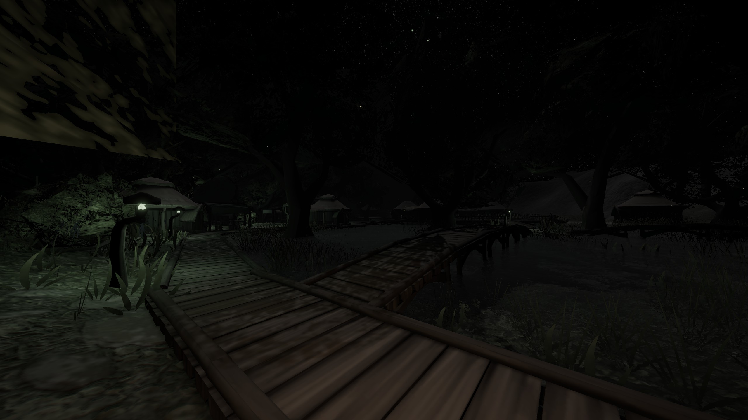
Sen’na seems to be very small initially. But explore the path that leads away from the trade office, and you will find a beautiful little village on a marsh.
Be sure to check out the trade stall near the purple smoke for your snake oil needs.
Sen’na Survey Data
Based on the summary of my observations with all tools available, I would say that Sen’na is located at: 28* N 3* E
Important: All measurements in this guide were taken by me, using my own techniques and methods with each tool. This WILL DIFFER from your own method. This is especially important when considering the raw sextant angles measured for each object, but is true with every measurement. My numbers should be close enough, but do not be surprised if your measurements differ from mine slightly.
Star Angles:
If you are unfamiliar with these stars, check out this guide on sailwind navigation. There are links to each of these stars and how to calculate Longitude using the chronometer.
00:00 AMT_________
- North Star – 28*
- Witena – 35*
05:20 AMT_________
- Oriens – Not visible, blocked by mountain
12:00 Local_________
- Sun – 61*
19:00 AMT__________
- North Star – 28*
- Milnead – 14*
Tool Readings:
Sun Compass – 28* at Local Noon**
Chronometer – 11:48 AMT at Local Noon**
Chronocompass – 29* Lat 3* Lon at Local Noon**
**It was stormy for 3 days while I was at Sen’na, so my local noon measurement is a bit questionable, and all shadow-based tool measurements were impacted.
AMT = Aestrin Time = The time displayed by chronometers
Kicia Bay
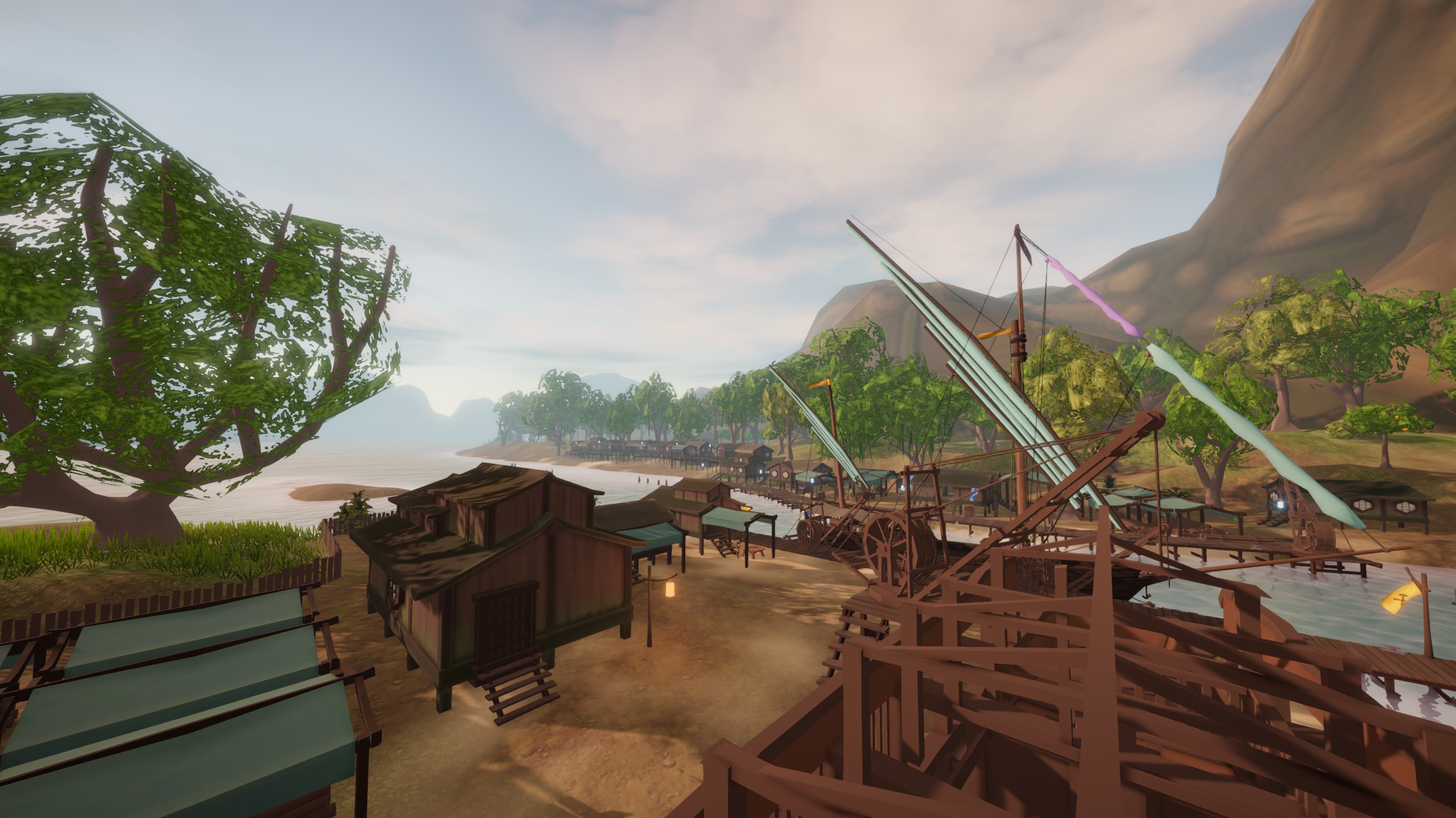
Like most of the Lagoon, Kicia can be extremely difficult to approach at night. There are many unmarked sandbars, as well as shallows that you could run aground on depending on how deep your keel is sitting.
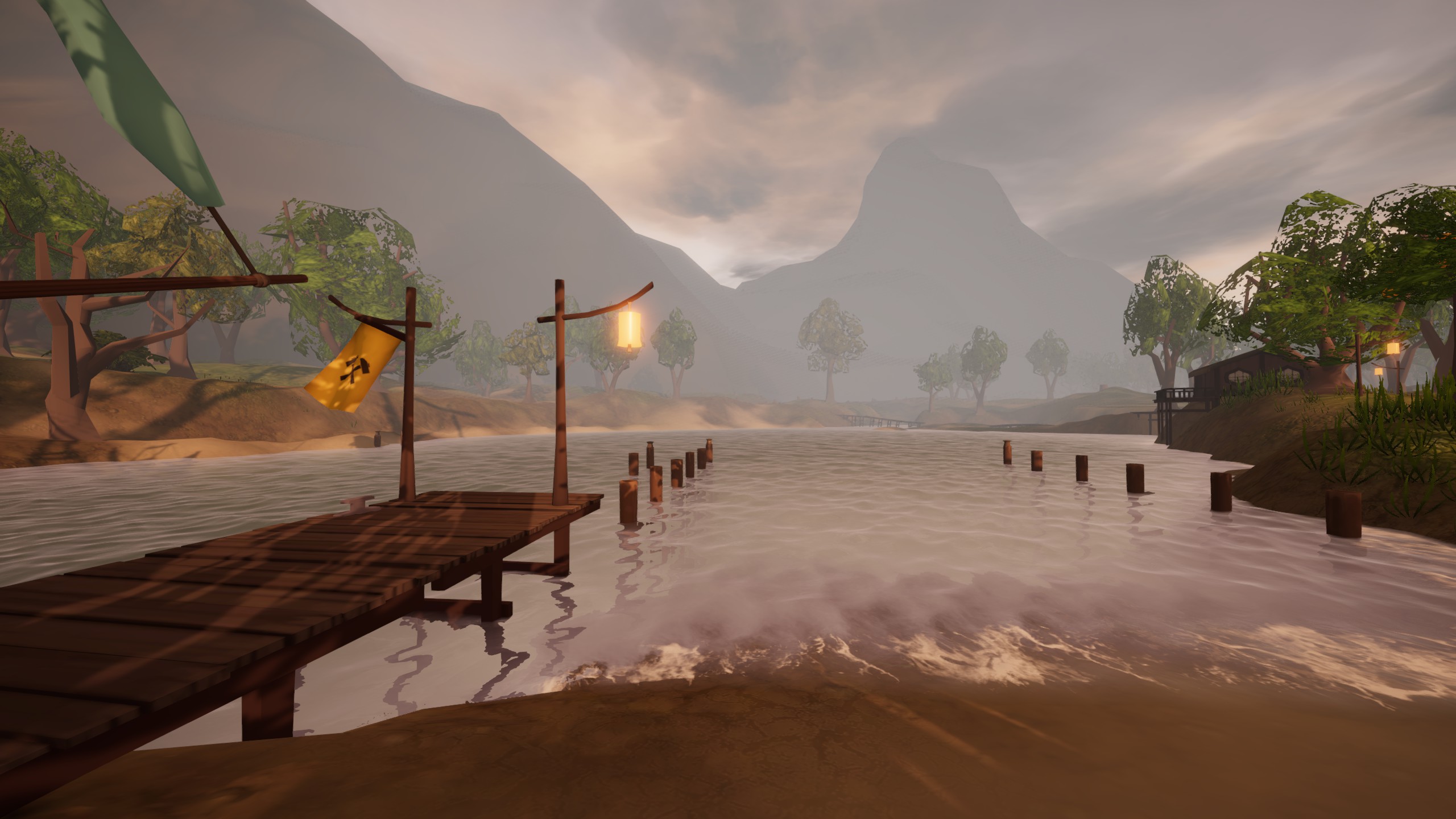
The view above is looking Southwest from the smaller dock. If you are very careful and the winds are right, you can approach from the south and dock here.
I recommend approaching Kicia from the West along the coast, and staying North of the sandbars.
It seems like Fire Fish Town is the actual official capital of the Lagoon, but in every way that matters Kicia Bay is the capital.
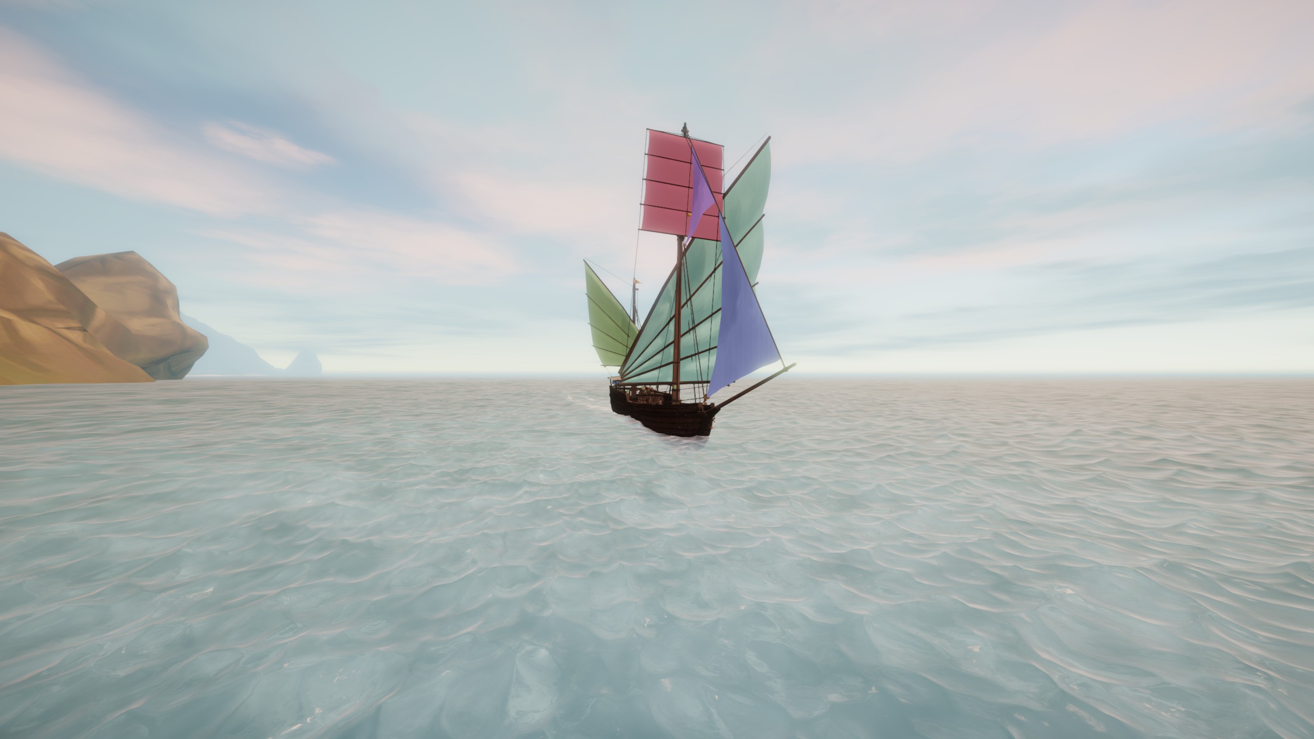
There is a shipyard here, the largest market in the Lagoon, and a cool special vendor. Definitely explore all of the shops here, and look at the really cool ship being built at the shipyard. There are also some unique sails available at the shipyard, so take a look.
Here are some of the sails and sail colors available at Kicia on my boat.
After you dock and unload, you should follow the trails that lead to the south of the shipyard and into the forest. Explore around for a monument in a clearing. RIP Kicia.
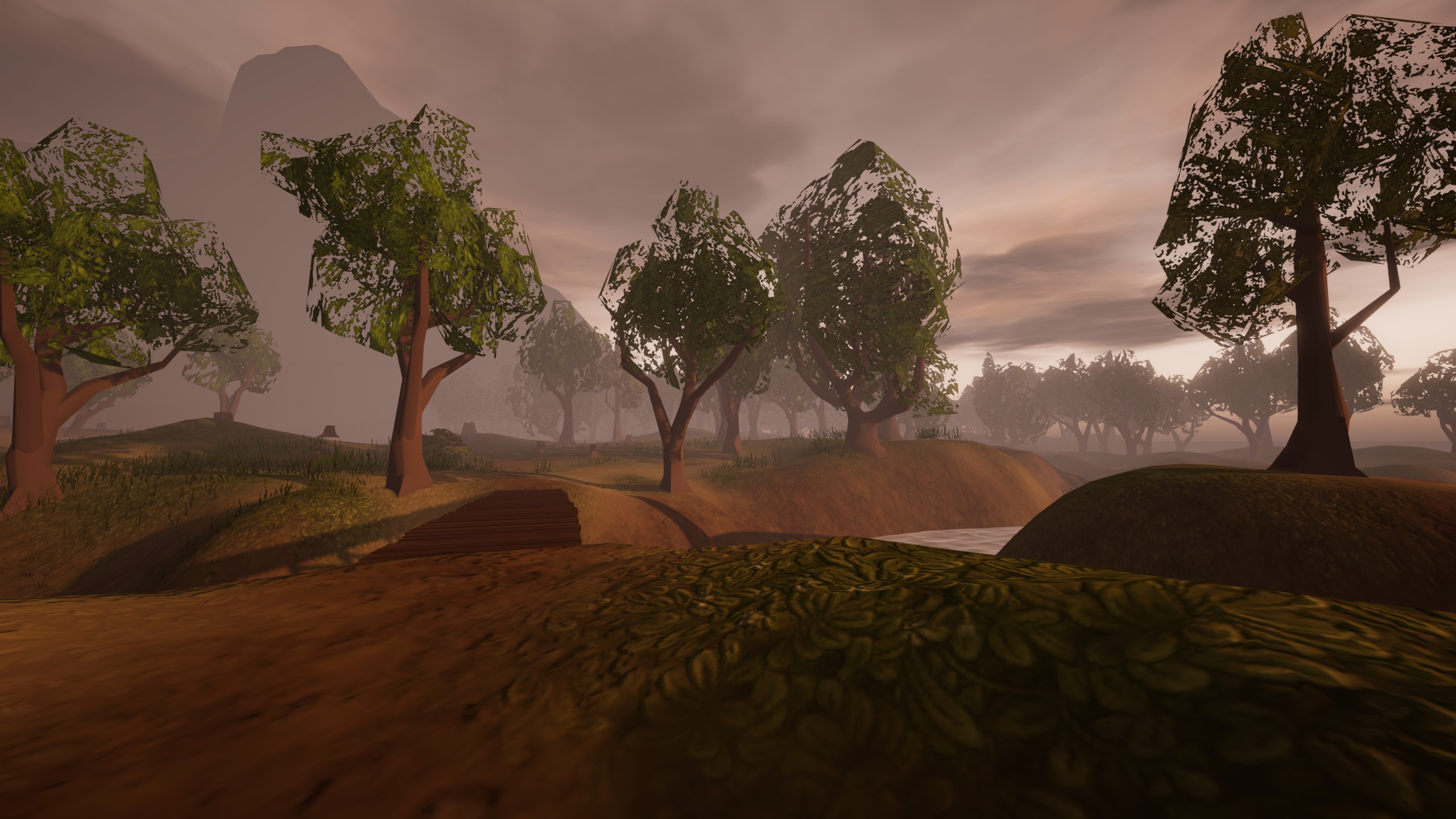
Cross this bridge and explore the forest beyond a bit.
In order to leave, you must go out the way you came. There is no exit to the ocean East of the dock.
Kicia Bay Survey Data
Based on the summary of my observations with all tools available, I would say that Kicia Bay is located at: 27.5* N 3.25* E
Important: All measurements in this guide were taken by me, using my own techniques and methods with each tool. This WILL DIFFER from your own method. This is especially important when considering the raw sextant angles measured for each object, but is true with every measurement. My numbers should be close enough, but do not be surprised if your measurements differ from mine slightly.
A good nearby landmark that you can reference when approaching from the South or West is the tall mountain just East of the port.
Star Angles:
If you are unfamiliar with these stars, check out this guide on sailwind navigation. There are links to each of these stars and how to calculate Longitude using the chronometer.
00:00 AMT_________
- North Star – 28*
- Witena – 35*
05:20 AMT_________
- Oriens – Not visible, blocked by the mountains.
12:00 Local_________
- Sun – 60*
19:00 AMT__________
- North Star – 28*
- Milnead – 12*
Tool Readings:
Sun Compass – 27* at Local Noon
Chronometer – 11:47 AMT at Local Noon
Chronocompass – 28* Lat 3* Lon at Local Noon
AMT = Aestrin Time = The time displayed by chronometers
Fire Fish Town
Fire Fish Town is the official capital of the Lagoon, or at least it will be the destination for most of your missions coming from other areas.
It is very challenging to approach, and there are hazards on all sides of the dock, But there is plenty of room here to maneuver any ship safely. There are two docks too, so you have options.
It is one of the prettier towns in the game, so I don’t want to spoil the first sight with screenshots. I only recommend you try to approach for the first time at just after dusk.
Be careful, study the map, and you should be fine.
Fire Fish Town Survey Data
Based on the summary of my observations with all tools available, I would say that Fire Fish Town is located at: 27.5* N 3.5* E
Important: All measurements in this guide were taken by me, using my own techniques and methods with each tool. This WILL DIFFER from your own method. This is especially important when considering the raw sextant angles measured for each object, but is true with every measurement. My numbers should be close enough, but do not be surprised if your measurements differ from mine slightly.
Star Angles:
If you are unfamiliar with these stars, check out this guide on sailwind navigation. There are links to each of these stars and how to calculate Longitude using the chronometer.
00:00 AMT_________
- North Star – 28*
- Witena – 36*
05:20 AMT_________
- Oriens – 8*
*needs to be sighted from the southern dock
12:00 Local_________
- Sun – 63*
19:00 AMT__________
- North Star – 28*
- Milnead – 11*
Tool Readings:
Sun Compass – 28* at Local Noon
Chronometer – 11:45 AMT at Local Noon
Chronocompass – 28* Lat 4* Lon at Local Noon
AMT = Aestrin Time = The time displayed by chronometers